

Central LA
EPA — Central LA
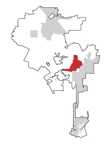
Includes neighborhoods like Koreatown, Westlake, Pico-Union, and MacArthur Park. This Equity Priority Area spans Council Districts 1, 5, 8, 10, and 13.
Partner: Central City Neighborhood Partners (CCNP)
Neighborhood Profile
Central LA is the most densely populated of the five Equity Priority Areas, with more than 33,000 residents per square mile across the full EPA—more than twice the citywide average.
The demographic statistics below focus on the parts of Central LA with the highest mobility needs.
In these areas, the population is predominantly Latino and Asian, with large Spanish- and Korean-speaking communities. Household income is substantially below the citywide average and poverty is considerably higher. Across the broader EPA, renting is much more common than citywide, and workers commute by transit at more than three times the citywide rate.
Key statistics
Central LA EPA
Citywide
Median Household Income
$52,842
$81,571
Average Age
36
37
Poverty Rate
25%
17%
Latino
61%
45%
Asian
19%
12%
Foreign-born non-citizens
32%
18%
Community Engagement
Who we heard from
390
responses from Central LA
Where we engaged residents
- East Hollywood Farmers Market
- Wilshire / Western Metro Station
- MacArthur Park
What we heard
Mobility investment priorities
- Transit
- Bike enhancements
- Shade and public space enhancements
Top mobility challenges
- Limited infrastructure for walking, biking, and transit
- Traffic safety
- Cleanliness