

South LA
EPA — South LA
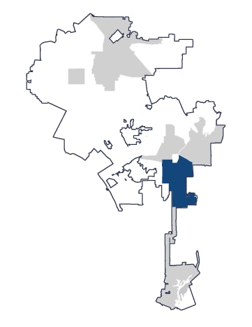
Includes neighborhoods such as Watts, Vermont-Slauson, Vermont Square, and Westmont. South LA is the location of the current UBM pilot program and includes Council Districts 8, 9, and 15.
Partner: T.R.U.S.T. South LA
Neighborhood Profile
South LA is home to more than 471,000 residents across the full EPA.
The demographic statistics below focus on the parts of South LA with the highest mobility needs.
These areas have a younger population than Los Angeles overall and are predominantly Latino, with a larger share of Black residents than citywide. Household income is well below the citywide average, and South LA has the highest poverty rate among the five Equity Priority Areas. Across the broader EPA, many households have limited access to a vehicle and face some of the city’s highest transportation costs.
Key statistics
South LA EPA
Citywide
Median Household Income
$58,379
$81,571
Average Age
32
37
Poverty Rate
26%
17%
Latino
80%
45%
Black
15%
9%
Foreign-born non-citizens
28%
18%
Community Engagement
Who we heard from
595
responses from South LA
Where we engaged residents
- South LA Eco-Lab community meeting
- Esperanza Community Housing
- Jackie Tatum Harvard Recreation Center
- CicLAvia — Leimert Park meets Expo Park
- Watts Historic Train Station
What we heard
Mobility investment priorities
- Transit
- Sidewalks and crosswalks
- Shade and public space enhancements
Top mobility challenges
- Limited infrastructure for walking, biking, and transit
- Cleanliness, cost, and traffic safety