Planning for Stress-Free Connections is a grant-funded project that aims to identify where the highest return on investment is for infrastructure that improves conditions on neighborhood streets for people walking and bicycling in the Central City subregion (Council File 17-1196).
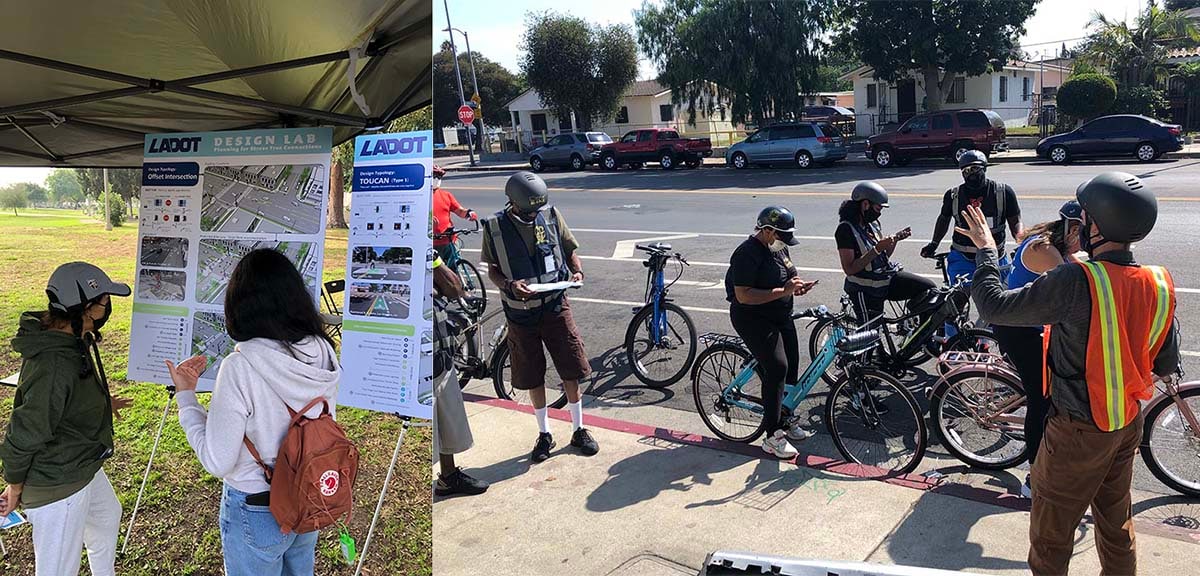
The project team engaged community based organizations and local stakeholders where demand is highest for bicycle infrastructure. The engagement focused on identifying and better understanding the barriers Angelenos face to getting around by bicycle or by walking. When implemented, the project will address high-stress hot spots along neighborhood streets. Solving these higher stress gaps will provide continual network connections to enable people to walk, bike, and roll where they need to go on comfortable neighborhood streets.
LADOT continues to collaborate with communities to identify potential connections and crossings on neighborhood streets that will make walking and biking easier and more stress-free. LADOT is currently focused in the following neighborhood geographies where Angelenos can provide feedback tailored to corridors in these areas:
A full map of estimated Level of Travel Stress for the Mobility Plan’s neighborhood bikeway corridors can be found here.
Additional resources and research:
- 1. Bicycle Latent Demand Neighborhood Identification Report: Outlines the process for identifying areas within the Central City subregion that have greater potential to promote active transportation
- 2. Focus Geographies and Networks: Maps of neighborhood networks within Central City that LADOT focused on based on analysis of latent demand and level of travel stress
- 3. Stress Free Connections Implementation Guide: Document that provides tools for successful implementation of low-stress neighborhood bikeways
- 4. Level of Traffic Stress (LTS) Standard Operating Procedure Report: Explains methodology for calculating stress levels for streets and intersections
- 5. Vehicle Miles Traveled, Demand, and Equity Analysis: Quantifies additional benefits of building out neighborhood bikeways.
- 6. Stress Free Connections GIS Data: All Stress Free Connections related GIS files, including corridors, Level of Travel Stress, and Geography data.
For additional information or to learn how to get involved, contact stressfreeconnections@lacity.org