
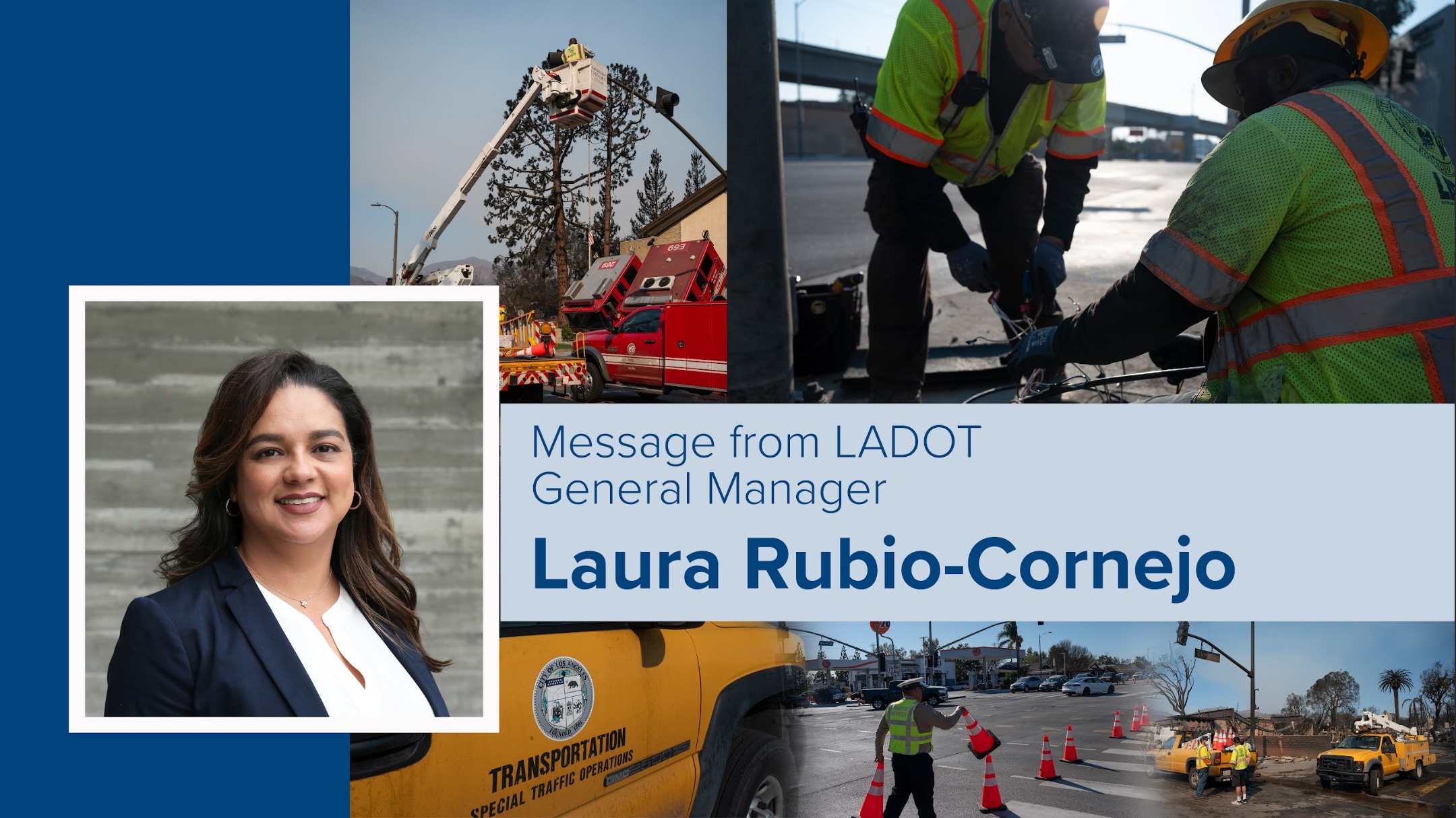
LADOT's Role in Emergency, Evacuation, and Repopulation Efforts
LADOT’s dedicated staff are always ready and willing to provide support in the event of an emergency, and the recent wildfires have been no different.
While the City’s Fire and Police Departments are responsible for issuing and enforcing evacuation orders, LADOT provides critical public safety support to these agencies during an evacuation. Dozens of LADOT staff from across the department are involved. Our traffic officers are deployed at key locations to ensure a safe flow of traffic, our Advanced Transportation Systems and Coordination (ATSAC) teams adjust traffic signal timing to reduce congestion along evacuation routes, and our bus drivers provide shuttle services to transport evacuees from dedicated meeting points to shelters. I am so grateful to each and every one of these essential employees who are out there protecting Angelenos everyday.
LADOT also supports the City’s efforts to reopen evacuation areas to residents. Right now, limited re-entry to certain areas under evacuation order are now open to residents only. Proof of residence and a police escort will be required. To learn if your address is in a re-entry zone and the location of re-entry checkpoints, visit emergency.lacity.gov/reentry. Please review the Los Angeles County Department of Public Health’s list of precautions prior to returning to your home. For any other information please visit lacity.gov for the latest on re-entry, recovery, and other resources.
Be Prepared for Rain This Weekend
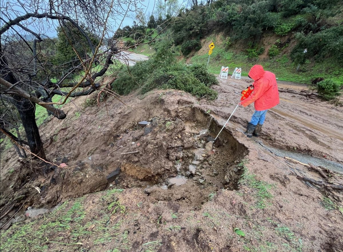
Los Angeles is expecting rain showers beginning Saturday evening and lasting through Sunday. There is a potential for landslides and flooding, especially near burn areas. During normal conditions, vegetation helps absorb rainwater. But after an intense wildfire, charred soil and burned vegetation form a water repellent layer. As a result, properties located below or downstream of the burn area are at an increased risk of flooding.
Individuals near burn areas who require sandbags to mitigate the risk of landslides may pick them up at nine locations across the City. View a list of sandbag pickup locations as well as a tutorial on sandbag use on the Emergency Management Department's website.
We remind all Angelenos to use caution when traveling during rain. If you are driving, drive slowly and use your headlights. Treat any dark or flashing traffic lights as all-way stops.

LA Wildfire Recovery Resources
For individuals and families impacted by the recent wildfires, the City of Los Angeles is offering both in-person and online assistance.
For in-person support, two Disaster Recovery Centers are now open and will remain open 9am - 8pm, seven days a week, for several weeks. The Disaster Recovery Center will support individuals with:
- Lost vital records (birth certificates, death certificates, driver’s licenses, social security documentation)
- Disaster relief for people with homes and businesses lost or damaged by the fire
- Referrals for mental health counseling and other services
Westside Disaster Recovery Center Location:
UCLA Research Park West
10850 Pico Blvd,
Los Angeles, CA 90064
Eastside Disaster Recovery Center Location:
Pasadena City College Community Education Center
3035 E. Foothill Blvd.
Pasadena, CA 91107
Virtual Remote Interpretation for language translation will be available during operating hours. In-person American Sign language will be available during select time periods. Visit lacity.gov for more information.
For online support, the City's Emergency Management Department has compiled a list of resources for individuals, families, property owners, businesses, and workers, including:
- Applications for FEMA disaster assistance
- CA unemployment benefits application
- Assistance for reconnecting with loved ones
- Tips for wildfire insurance claimants
- Links to apply for tax relief for damaged or destroyed properties
Shelters and housing services - Fire health and safety information
- Mental health resources
Visit lacity.gov for the latest information on how the City is working to respond to the wildfire crisis. For life-threatening emergencies and to report downed power lines, call 911.
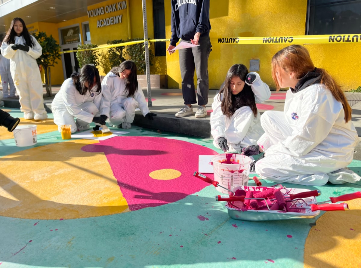
LADOT Receives Merit Award for Shatto Place Redesign Project
LADOT is proud to announce that the ACEC California judging panel has recognized the Safe Routes to School Shatto Place Redesign Quick Build Project with a Merit Award in the ACEC California 2025 Engineering Excellence Awards competition. This award highlights LADOT’s dedication to creating safer and more connected communities through innovative design and collaboration.
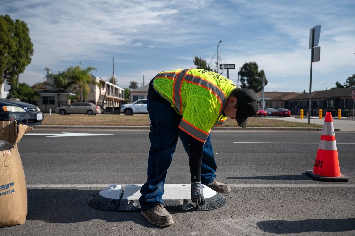
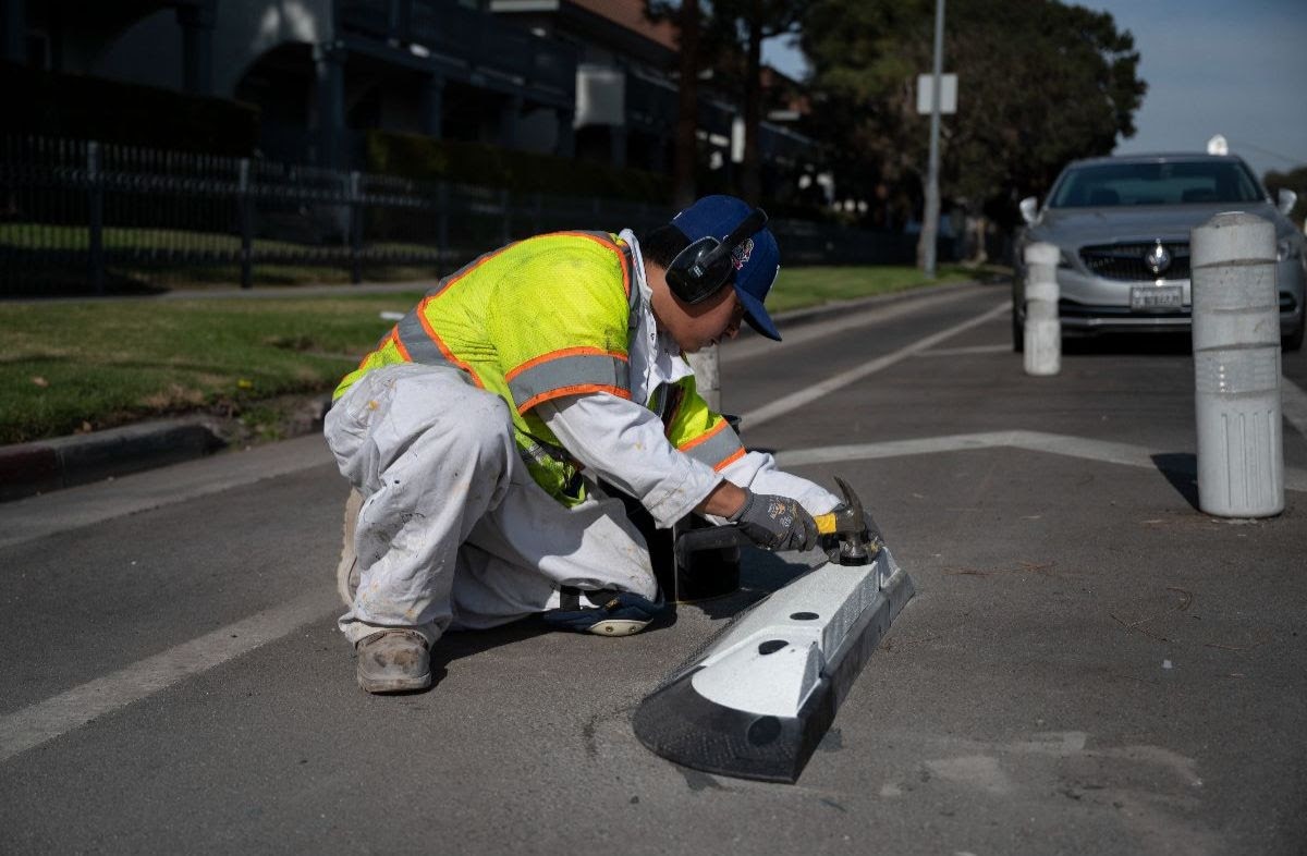
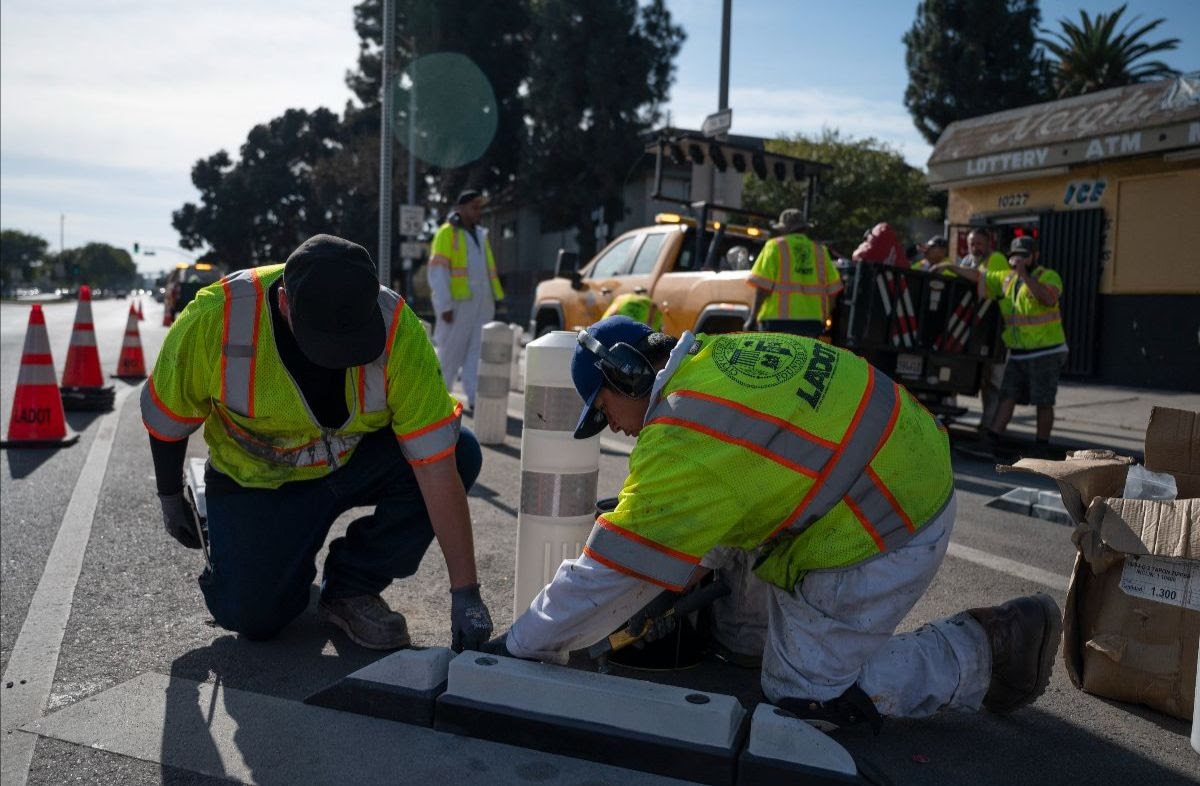
Located on Shatto Place between 6th St and Wilshire Blvd, the project features innovative elements like speed cushions, a dedicated safety drop-off lane, a new pedestrian plaza, and temporary curb extensions. These quick-build solutions improve safety and accessibility while fostering community engagement.
A highlight of the project was the collaboration with Young Oak Kim Academy, where students and staff contributed through a pop-up event and designing and painting the pedestrian plaza.
This project was made possible thanks to our partners: KOA, HereLA, Leslie Scott, Red Sky Productions, Koreatown Youth + Community Center (KYCC), and the dedicated teams at LADOT.
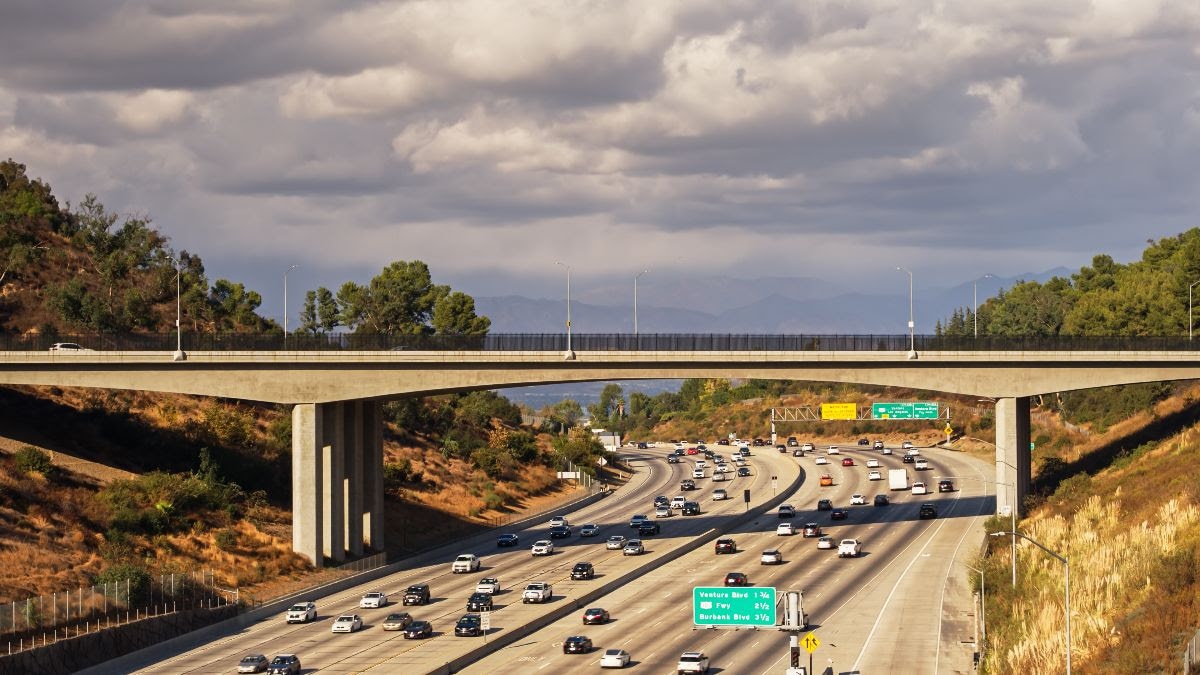
Caltrans Announces Overnight Closures on Multiple Routes in Los Angeles County
The California Department of Transportation (Caltrans) is planning overnight closures on multiple routes in Los Angeles County for utility work. The closures will be along Interstate 405 at Sepulveda Pass, Interstate 710 in Long Beach, Pacific Coast Highway in Long Beach, Interstate 5 near downtown Los Angeles, State Route 14 near Palmdale, State Route 57 near Pomona, U.S. Highway 101 in Encino, and State Route 118 in San Fernando. Signs will be posted. Motorists can expect delays.
The work will take place from 9 p.m. to 6 a.m. on Tuesday, January 21 through Saturday, January 25. The closures are as follows:
Interstate 405 at Sepulveda Pass
- One lane of northbound I-405 at Sepulveda Boulevard
- One lane on northbound I-405 from Wilshire Boulevard to Getty Center Drive
- Northbound Sepulveda Boulevard on-ramp to northbound I-405
- Northbound I-405 connector to southbound U.S. 101
- Southbound Skirball Center Drive on-ramp to southbound I-405
- Two right lanes on southbound I-405 from Sepulveda Boulevard to Getty Center Drive
- Sepulveda Boulevard on-ramp to southbound I-405
Interstate 710 in Long Beach
- Northbound I-710 off-ramp to northbound Pacific Coast Highway (PCH/SR-1)
- Northbound Pacific Coast Highway (PCH/SR-1) on-ramp to northbound I-710
- Up to two lanes on northbound I-710 from Pacific Coast Highway (PCH/SR-1) to Wardlow Road
- Westbound Willow Street on-ramp to northbound I-710
- Northbound I-710 off-ramp to westbound Willow Street
- Northbound I-710 off-ramp to eastbound Willow Street
- Westbound Willow Street on-ramp to northbound I-710
- Up to two lanes on southbound I-710 from Wardlow Road to Pacific Coast Highway (PCH/SR-1)
Pacific Coast Highway (PCH/SR-1) in Long Beach
- Right lane of northbound Pacific Coast Highway from I-710 to State Route 103 Interstate 5 near downtown Los Angeles
- Both lanes of southbound I-5 connector to eastbound I-10 State Route 14 near Palmdale
- Northbound Palmdale Boulevard (SR-138) on-ramp to northbound SR-14 State Route 57 near Pomona
- Right lane on southbound SR-57 from I-10 to Temple Avenue U.S. Highway 101 in Encino
- Right lane on southbound U.S. 101 from Burbank Boulevard to Balboa Boulevard State Route 118 in San Fernando
- Right lane of westbound SR-118 at San Fernando Road
Due to weather or operational reasons, the schedule is subject to change including the times and dates of closures, the number of lanes closed and other details. Please visit the Caltrans Quickmap, at Quickmap.dot.ca.gov, for current road closures and conditions.
Way to Support Wildfire Relief Effors
If you’re looking for a way to support our communities during this emergency, the City has compiled the following organizations seeking financial support:
California Community Foundation Wildfire Recovery Fund: Contributions will go toward the most impacted and the most vulnerable Angelenos who can be overlooked in traditional relief efforts. The fund complements immediate relief and addresses the long-term recovery needs of neighborhoods.
Los Angeles Fire Department Foundation: Hundreds of Los Angeles Firefighters are on the ground around the clock responding to the wildfires. Support LA’s brave firefighters who save lives, protect our homes, and keep our communities safe.
For additional ways to support, as well advice on avoiding scams and vetting charities, visit lacity.gov/LAstrong. In LA, we are stronger together!
Participate in our Community Surveys:
You are the ultimate expert for your community. LADOT wants your input as we plan projects to improve the safety, sustainability, and livability of Los Angeles communities.
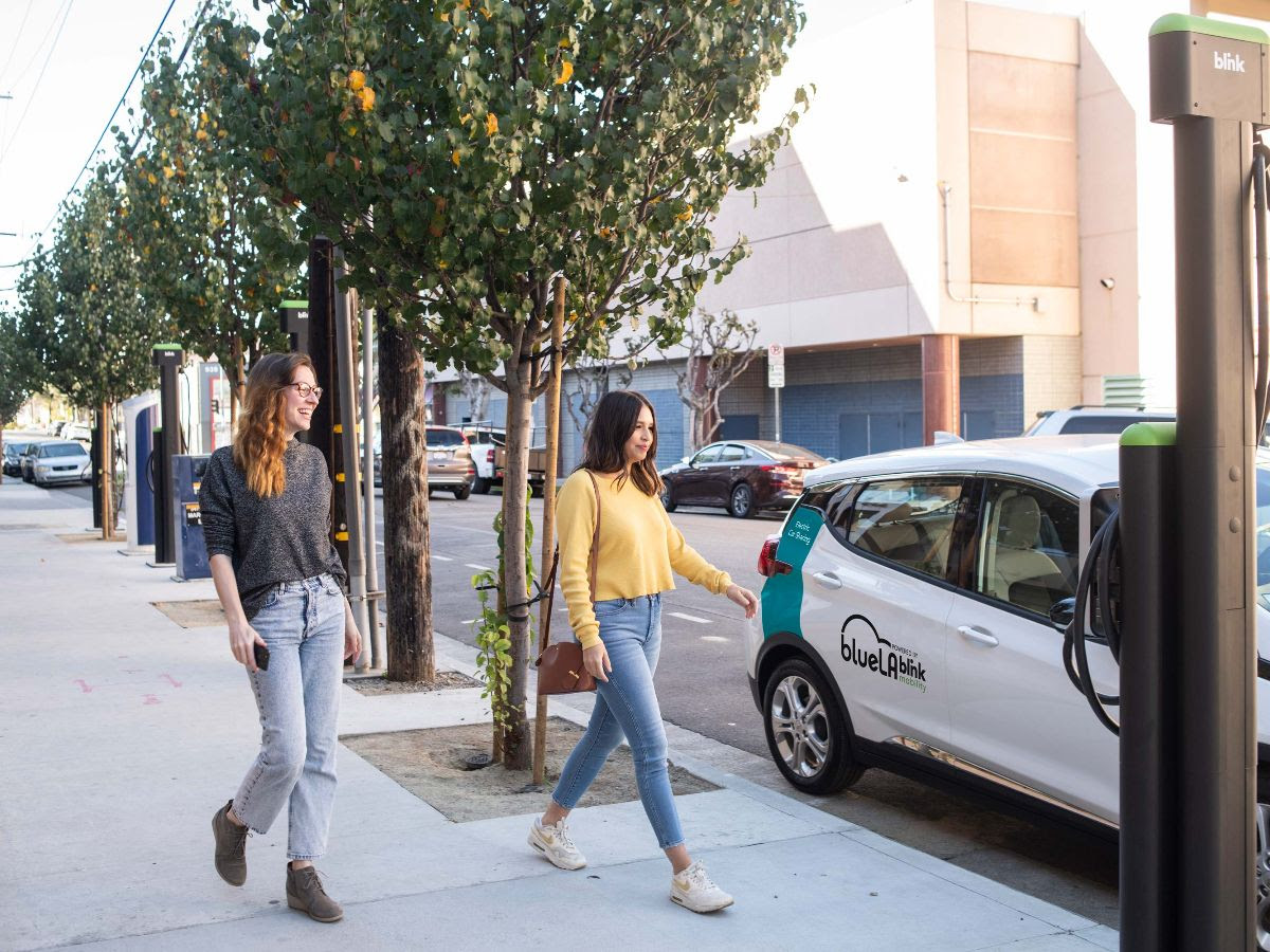
BlueLA Crowdsourcing Survey
Your input drives BlueLA powered by Blink Mobility forward. Share your dream destinations & station locations in this quick survey. Let's shape the future of car sharing together!
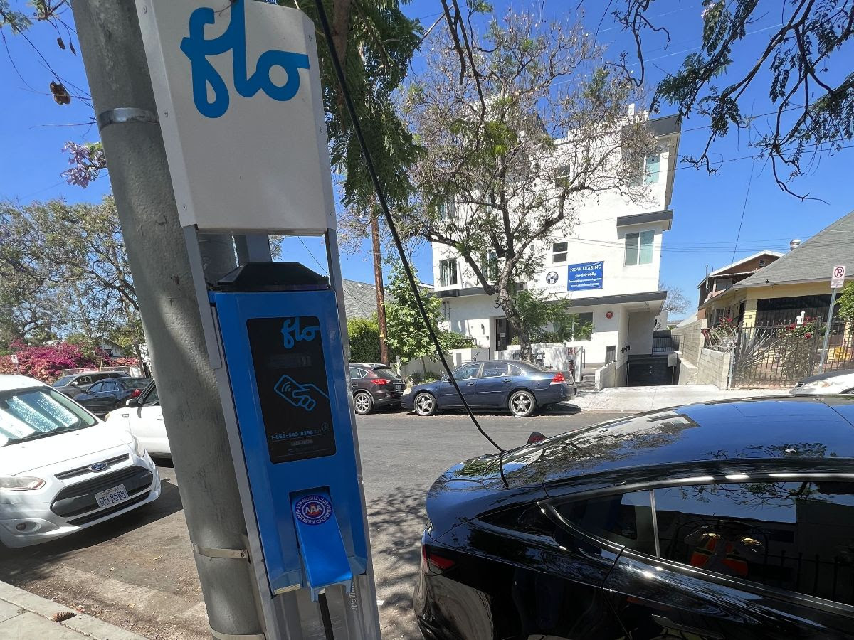
EV Chargers in South LA
Where do you want to see more EV chargers in South LA? As part of LADOT's UBM pilot, we're installing 100+ EV chargers. Help us determine where chargers are most needed by taking our brief survey.
Transportation Photos of the Week
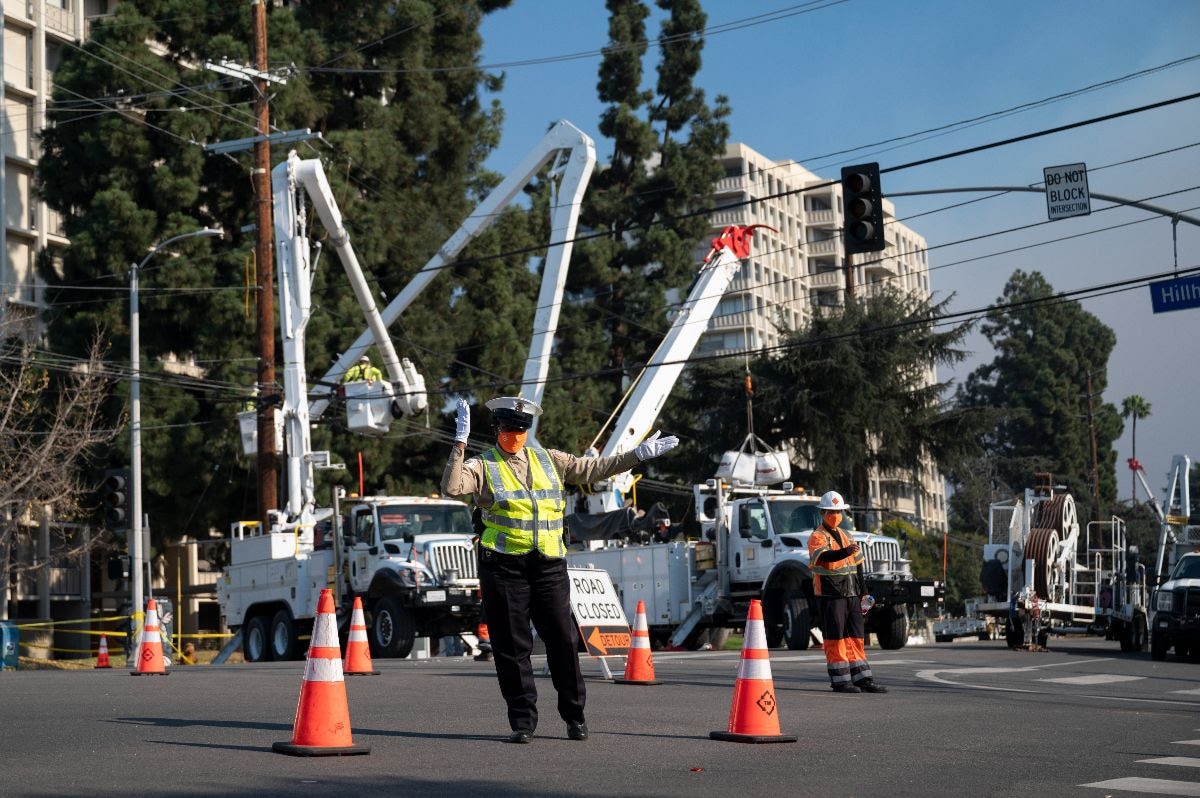
LADOT Crews respond to windstorm damage in Los Feliz on January 9, 2025.